By station
36 stations have at least one office building site within 600 m.
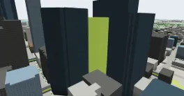
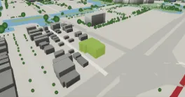
Dome Tower333 7 Ave SW145.7 m · built 1976 · Office/Retail · 2 accounts · Downtown Commercial Core · 61 m 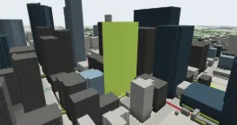
750 3 St SWheight n/a · built 1989 · Office/Retail · Downtown Commercial Core · 82 m 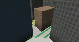
308 8 Ave SW9 m · built 1910 · Office/Retail · Downtown Commercial Core · 89 m 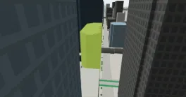
Intact Place311 6 Ave SW75.8 m · built 1978 · Office · Downtown Commercial Core · 98 m 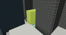
Lancaster Building304 8 Ave SW41.2 m · built 1913 · Office/Retail · Downtown Commercial Core · 102 m
All 38 near 3rd Street SW →
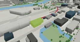
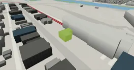
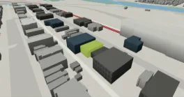
1716 10 Ave SW9.4 m · built 1998 · Office Condo · 2 accounts · Sunalta · 68 m 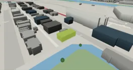
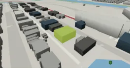
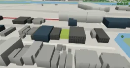
All 35 near Sunalta →
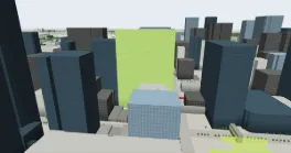
707 5 St SW125.3 m · built 2015 · Office · Downtown Commercial Core · 36 m 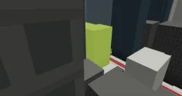
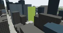
645 7 Ave SW109.9 m · built 1988 · Office · Downtown Commercial Core · 56 m 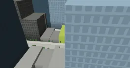
Barron Building620 8 Ave SW12.3 m · built 1940 · Office · Downtown Commercial Core · 69 m 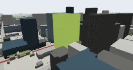
601 5 St SW125.8 m · built 2007 · Office · Downtown Commercial Core · 74 m 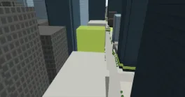
632 8 Ave SW55 m · built 1951 · Office · Downtown Commercial Core · 78 m
All 32 near 6th Street SW →
All 32 near Victoria Park/Stampede →
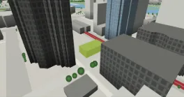
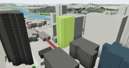
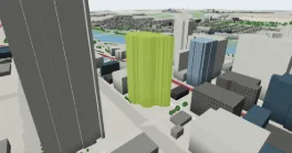
300 1100 8 Ave SW83 m · built 1979 · Office Condo · 15 accounts · Downtown West End · 90 m 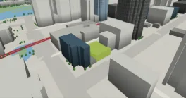
1134 8 Ave SW7.4 m · built 1953 · Office · Downtown West End · 93 m 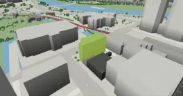
750 11 St SW20.7 m · built 1981 · Office · Downtown West End · 109 m 
1040 7 Ave SW29.9 m · built 1979 · Office · Downtown West End · 124 m
All 29 near Downtown West - Kerby →
840 7 Ave SW74 m · built 1977 · Office · Downtown Commercial Core · 38 m 
816 7 Ave SW31 m · built 1965 · Office · Downtown Commercial Core · 43 m 
667 7 St SW18.2 m · built 1979 · Office · 2 accounts · Downtown Commercial Core · 64 m 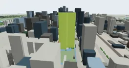
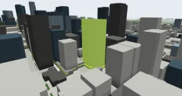
801 6 Ave SW115.8 m · built 1982 · Office · Downtown Commercial Core · 89 m 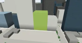
815 8 Ave SW55.7 m · built 1981 · Office · Downtown Commercial Core · 133 m
All 25 near 8th Street SW →
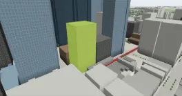
622 1 St SW84.9 m · built 1958 · Office · Downtown Commercial Core · 42 m 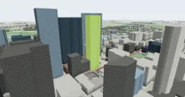
Telus Sky685 Centre St SW225.6 m · built 2014 · Office · Downtown Commercial Core · 44 m 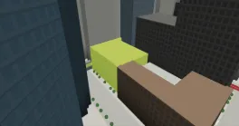
Utilities Building119 6 Ave SW25.5 m · built 1929 · Office · Downtown Commercial Core · 68 m 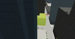
Lougheed Building604 1 St SW28.3 m · built 1911 · Office · Downtown Commercial Core · 93 m 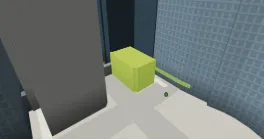
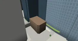
110R 6 Ave SWheight n/a · built 1981 · Office · Downtown Commercial Core · 142 m
All 24 near 1st Street SW →
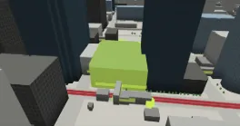
510 8 Ave SW27.5 m · built 1987 · Office/Retail · Downtown Commercial Core · 53 m 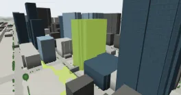
530 8 Ave SW108.7 m · built 1982 · Office · Downtown Commercial Core · 64 m 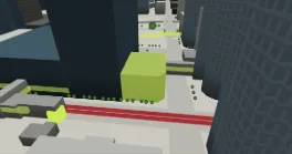
Triad Building535 7 Ave SW19.3 m · built 1956 · Office · Downtown Commercial Core · 65 m 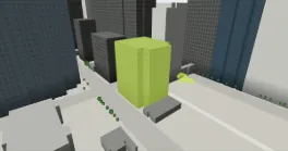
550 6 Ave SW49.3 m · built 1966 · Office · Downtown Commercial Core · 136 m 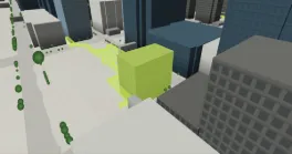
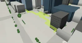
All 24 near 4th Street SW →
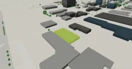
6120 1A St SW5.9 m · built 1960 · Small Office · Manchester Industrial · 218 m 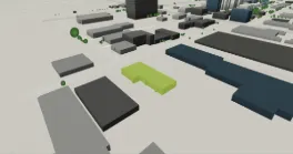
6110 1A St SW6.6 m · built 1964 · Small Office · Manchester Industrial · 232 m 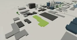
6020 1A St SW6.6 m · built 1991 · Office use recorded by City permits (roll code X034) · Manchester Industrial · 291 m 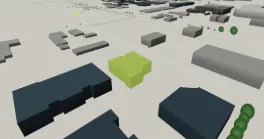
100 221 62 Ave SE7.1 m · built 1965 · Office Condo · 2 accounts · Manchester Industrial · 324 m 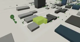
6011 1A St SW13.4 m · built 1976 · Office use recorded by City permits (roll code X034) · Manchester Industrial · 326 m 
6009 1A St SW6.6 m · built 1977 · Small Office · Manchester Industrial · 346 m
All 24 near Chinook →
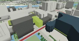
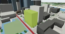
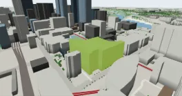
Historic City Hall800 Macleod Trail SE57.2 m · built 1982 · Office · Downtown Commercial Core · 146 m 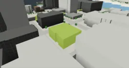
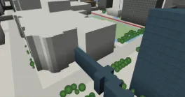
Burns Building237 8 Ave SEheight n/a · built 1913 · Office · Downtown Commercial Core · 172 m 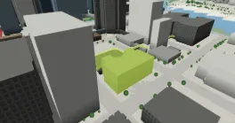
All 23 near City Hall →
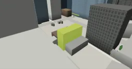
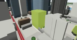
133 6 Ave SE56.3 m · built 1979 · Office · Downtown Commercial Core · 95 m 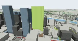
The Bow500 Centre St SE239.8 m · built 2012 · Office · Downtown Commercial Core · 171 m 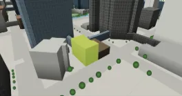
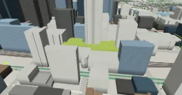
Tower Centre131 9 Ave SW39.1 m · built 1969 · Office · Downtown Commercial Core · 256 m 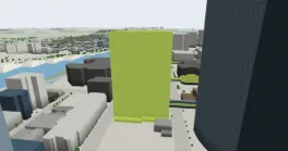
411 1 St SE113.8 m · built 1970 · Office · Downtown Commercial Core · 275 m
All 19 near Centre Street →
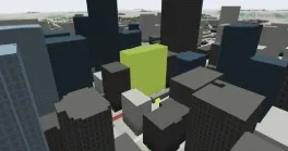
Elveden Centre727 7 Ave SW81.3 m · built 1961 · Office · Downtown Commercial Core · 44 m 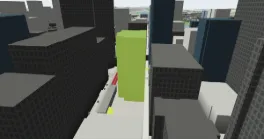
734 7 Ave SW73.7 m · built 1982 · Office · Downtown Commercial Core · 56 m 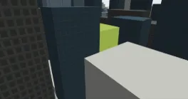
200 731 6 Ave SW63.1 m · built 1962 · Office Condo · 4 accounts · Downtown Commercial Core · 68 m 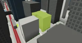
Britannia Building703 6 Ave SW39.7 m · built 1958 · Office · Downtown Commercial Core · 80 m 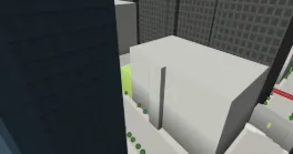
718 8 Ave SW17.8 m · built 2013 · Office · Downtown Commercial Core · 84 m 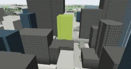
700 6 Ave SW85.9 m · built 1968 · Office · Downtown Commercial Core · 135 m
All 16 near 7th Street SW →
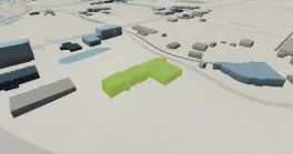
2775 2 Ave SE13.3 m · built 1995 · Office use recorded by City permits (roll code X034) · Meridian · 170 m 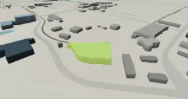
2840 2 Ave SE12.5 m · built 2000 · Medical/Dental Office · Meridian · 223 m 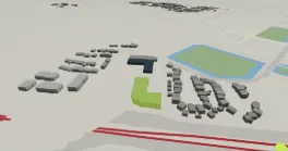
525 28 St SE11.3 m · built 1981 · Office use recorded by City permits (roll code X034) · Albert Park/Radisson Heights · 226 m 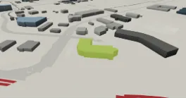
2912 Memorial Dr SE12.8 m · built 1979 · Office use recorded by City permits (roll code X034) · Franklin · 339 m 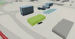
2611 3 Ave SE14.9 m · built 1988 · Office use recorded by City permits (roll code X034) · Meridian · 382 m 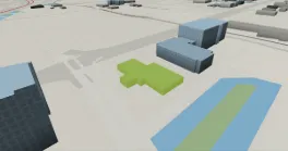
2536 3 Ave SE5.7 m · built 1980 · Office use recorded by City permits (roll code X034) · Meridian · 469 m
All 9 near Franklin →
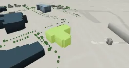
3710 33 St NW21.9 m · built 2017 · Office use recorded by City permits (roll code X034) · Varsity · 173 m 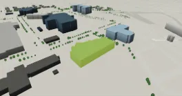
3608 33 St NW14 m · built 1999 · Office use recorded by City permits (roll code X034) · Varsity · 258 m 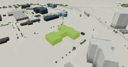
3535 31 St NW18.6 m · built 1989 · Office use recorded by City permits (roll code X034) · Varsity · 270 m 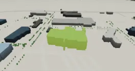
3520 Research Way NW27.1 m · built 1989 · Office use recorded by City permits (roll code X034) · Varsity · 340 m 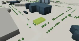
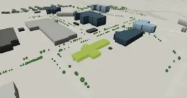
3512 33 St NW8.5 m · built 1978 · Office use recorded by City permits (roll code X034) · Varsity · 364 m
All 8 near Brentwood →
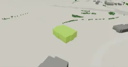
280 Midpark Way SE8.5 m · built 1981 · Office use recorded by City permits (roll code X034) · Midnapore · 441 m 
259 Midpark Way SE13.8 m · built 1981 · Office use recorded by City permits (roll code X034) · Midnapore · 506 m 
239 Midpark Way SE8.1 m · built 1980 · Office use recorded by City permits (roll code X034) · Midnapore · 578 m 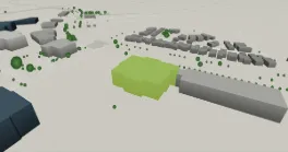
295 Midpark Way SE13.3 m · built 1982 · Office use recorded by City permits (roll code X034) · Midnapore · 580 m
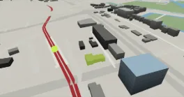
315 39 Ave SE7.1 m · built 1964 · Small Office · Manchester Industrial · 57 m 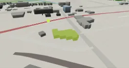
4015 1 St SE7.4 m · built 1978 · Small Office · Manchester Industrial · 87 m 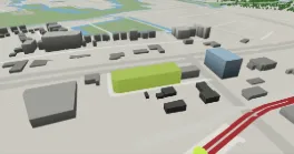
4014 Macleod Trail SE15.3 m · built 1978 · Office use recorded by City permits (roll code X034) · Manchester Industrial · 102 m 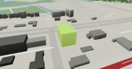
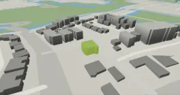
124 42 Ave SW11.4 m · built 1991 · Small Office · Parkhill/Stanley Park · 305 m
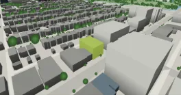
227 10 St NW14 m · built 1969 · Small Office · Hillhurst · 309 m 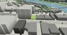
150 10 St NW4.7 m · built 2020 · Small Office · Sunnyside · 318 m 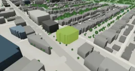
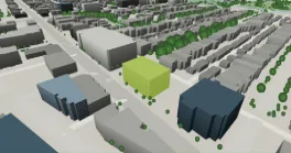
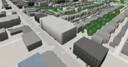
1228 Kensington Rd NWheight n/a · built 1983 · Office use recorded by City permits (roll code X034) · Hillhurst · 581 m
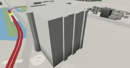
200 1710 14 Ave NWheight n/a · built 2002 · Office Condo · 2 accounts · Hounsfield Heights/Briar Hill · 220 m 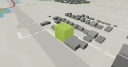
1716 16 Ave NW22.2 m · built 1973 · Office use recorded by City permits (roll code X034) · Capitol Hill · 323 m 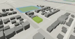
2004 12 Ave NW6.7 m · built 1988 · Small Office · Hounsfield Heights/Briar Hill · 353 m 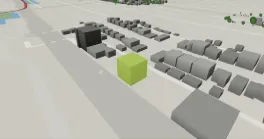
1640 16 Ave NW17.3 m · built 1964 · Small Office · Capitol Hill · 392 m 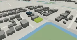
2024 12 Ave NW4.8 m · built 1977 · Small Office · Hounsfield Heights/Briar Hill · 410 m
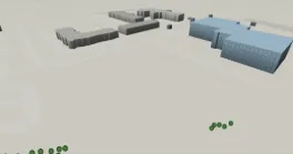
3687 63 Ave NEheight n/a · built 2012 · Office use recorded by City permits (roll code X034) · Westwinds · 159 m 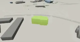
3730 Westwinds Dr NE15 m · built 2014 · Office use recorded by City permits (roll code X034) · Westwinds · 231 m 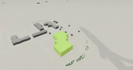
3699 63 Ave NE20.3 m · built 2009 · Office use recorded by City permits (roll code X034) · Saddle Ridge Industrial · 300 m 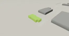
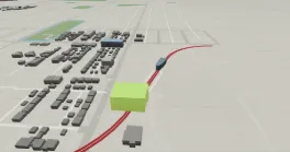
1417 33 St SW25.4 m · built 2013 · Office use recorded by City permits (roll code X034) · Rosscarrock · 3 m 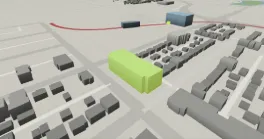
3320 17 Ave SW18.3 m · built 2015 · Office use recorded by City permits (roll code X034) · Shaganappi · 263 m 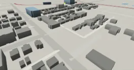
3110 17 Ave SWheight n/a · built 2019 · Medical/Dental Office · Shaganappi · 377 m 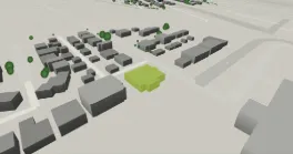
1107 37 St SW7.1 m · built 1969 · Small Office · Rosscarrock · 479 m
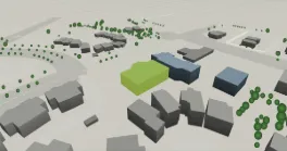
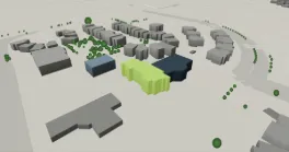
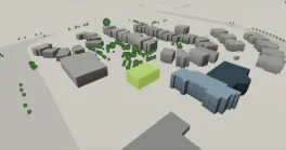
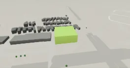
75 Crowfoot Rise NW19.6 m · built 2016 · Office use recorded by City permits (roll code X034) · Arbour Lake · 515 m
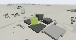
10101 Southport Rd SW59.9 m · built 1978 · Office use recorded by City permits (roll code X034) · Southwood · 154 m 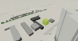
9705 Horton Rd SW18.9 m · built 1976 · Office use recorded by City permits (roll code X034) · Haysboro · 483 m 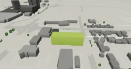
10325 Bonaventure Dr SE19.9 m · built 1978 · Office use recorded by City permits (roll code X034) · Willow Park · 594 m
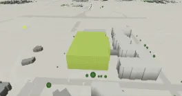
8500 Macleod Trail SE30.2 m · built 1976 · Office use recorded by City permits (roll code X034) · Acadia · 319 m 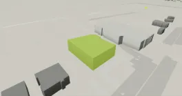
8989 Macleod Trail SW19.8 m · built 1979 · Office use recorded by City permits (roll code X034) · Haysboro · 495 m 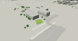
425 78 Ave SW10.1 m · built 1985 · Small Office · Kingsland · 567 m
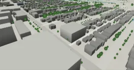
204 9 St NEheight n/a · built 1981 · Office use recorded by City permits (roll code X034) · Bridgeland/Riverside · 486 m 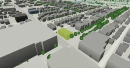
830 1 Ave NE7.6 m · built 1972 · Small Office · Bridgeland/Riverside · 529 m 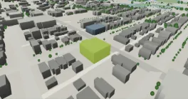
803 1 Ave NE13 m · built 1978 · Medical/Dental Office · Bridgeland/Riverside · 556 m
SAIT/ACAD/Jubilee Station 2 sites
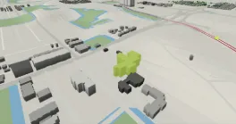
1402 8 Ave NW22.4 m · built 1970 · Medical/Dental Office · Hillhurst · 346 m 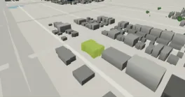
2 1133 17 Ave NW9.5 m · built 1974 · Office Condo · 2 accounts · Capitol Hill · 590 m
Anderson Station 2 sites
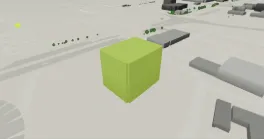
11012 Macleod Trail SE33.6 m · built 1979 · Office use recorded by City permits (roll code X034) · Willow Park · 309 m 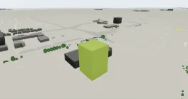
10655 Southport Rd SW52.5 m · built 1978 · Office use recorded by City permits (roll code X034) · Southwood · 506 m
Barlow/Max Bell Station 2 sites
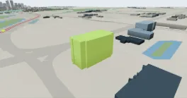
2535 3 Ave SE41.3 m · built 2008 · Office use recorded by City permits (roll code X034) · Meridian · 443 m 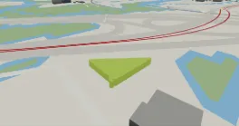
615 18 St SE7.9 m · built 1975 · Office use recorded by City permits (roll code X034) · Mayland · 468 m
Fish Creek - Lacombe Station 2 sites
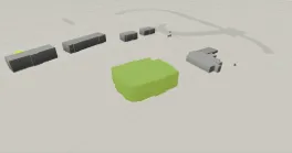
14505 Bannister Rd SE16.6 m · built 1999 · Office use recorded by City permits (roll code X034) · Midnapore · 176 m 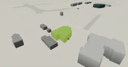
Rundle Station 2 sites
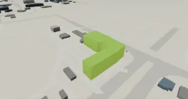
2675 36 St NE24.8 m · built 1984 · Medical/Dental Office · Sunridge · 168 m 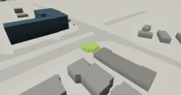
69 Street SW Station 1 site
Banff Trail Station 1 site
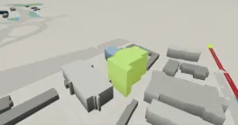
1816 Crowchild Trail NW37.9 m · built 2000 · Office use recorded by City permits (roll code X034) · Banff Trail · 245 m
Canyon Meadows Station 1 site
13131 Lake Fraser Dr SE22.3 m · built 1998 · Office use recorded by City permits (roll code X034) · Lake Bonavista · 234 m
Dalhousie Station 1 site
Erlton/Stampede Station 1 site
Marlborough Station 1 site
915 33 St NE4.7 m · built 1995 · Office use recorded by City permits (roll code X034) · Franklin · 415 m
Sirocco Station 1 site
Public record sources: Current Year Property Assessments (Parcel), Historical Property Assessments (Parcel), Assessment Subproperty Use Codes, 3D Buildings - Citywide (LiDAR roof outlines), Land Use Districts, Transit LRT Stations, Green Line Stations, Plus 15, Historic Resource (Inventory of Evaluated Historic Resources), Development Permits, Building Permits, Calgary Existing Buildings - Performance Metrics (BenchmarkYYC), Calgary Business Licenses, On-Street Parking Zones with Rates, Building Inspections Results, Residential Parking Zones, Snow and Ice Clearing Priority Routes, Traffic Signals, Calgary Bikeways — The City of Calgary, retrieved 2026-09-24. Contains information licensed under the Open Government Licence – City of Calgary. Building names, floor counts and architects, where shown, come from Wikidata (CC0). No brokerage, listing-data or commercial research source is used.
Boundary: Assessed values are the City’s assessment-roll figures for taxation and are not sale prices, asking rents, vacancy or availability; Alberta does not publish transaction prices. LiDAR heights are roof-surface elevations above the lowest ground point at the building perimeter and can differ from architectural heights. Storey equivalents are derived at 3.9 m per storey and are not floor counts. Distances are straight-line. Permit descriptions are the City’s records at retrieval and do not establish current use, tenancy or availability. Read the methodology.
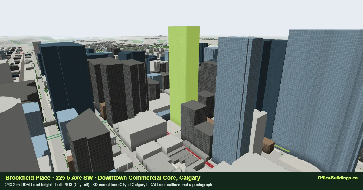 Brookfield Place243.2 m roof · 62 storey-equivalent · built 2013 · Downtown Commercial Core · Plus 15 · 153 m to 1st Street SW
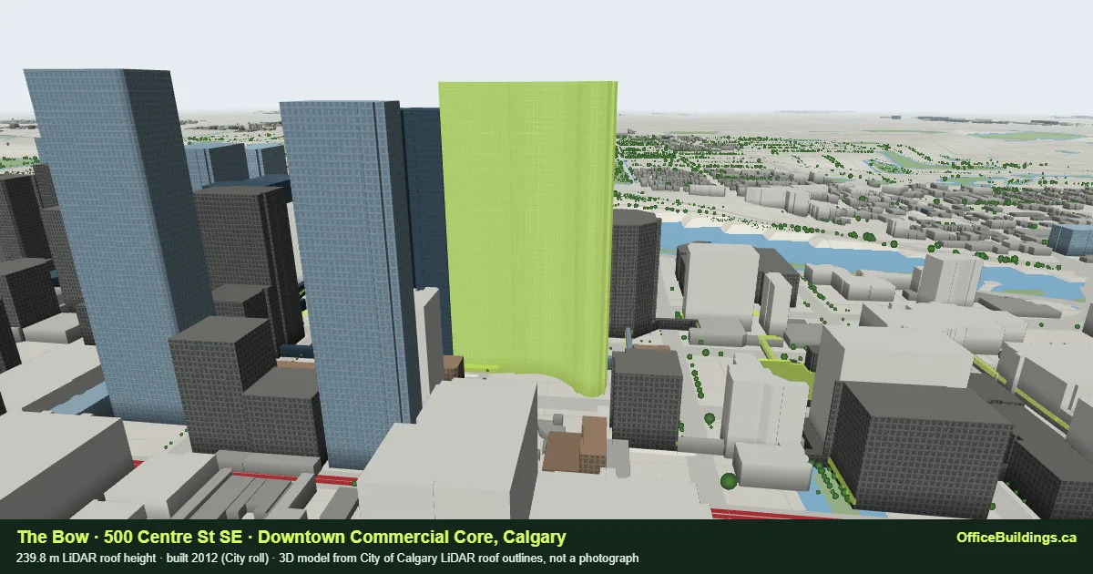 The Bow
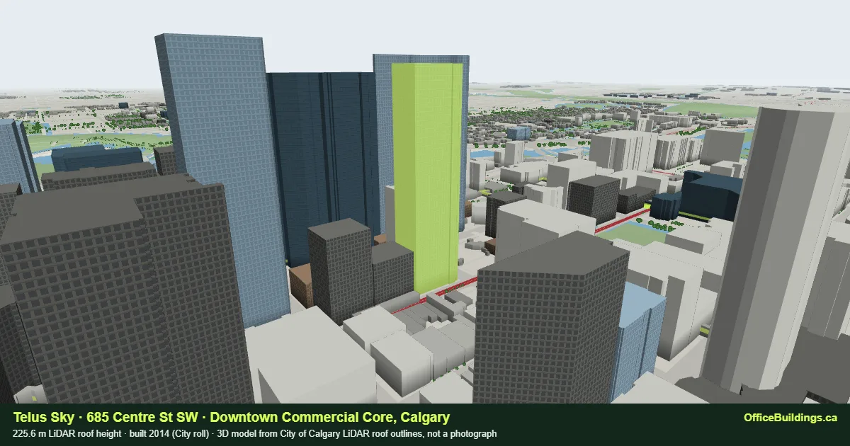 Telus Sky
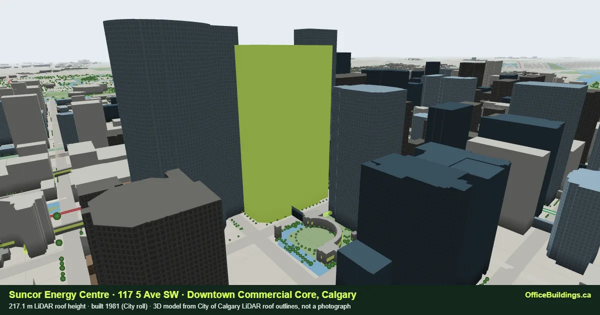 Suncor Energy Centre
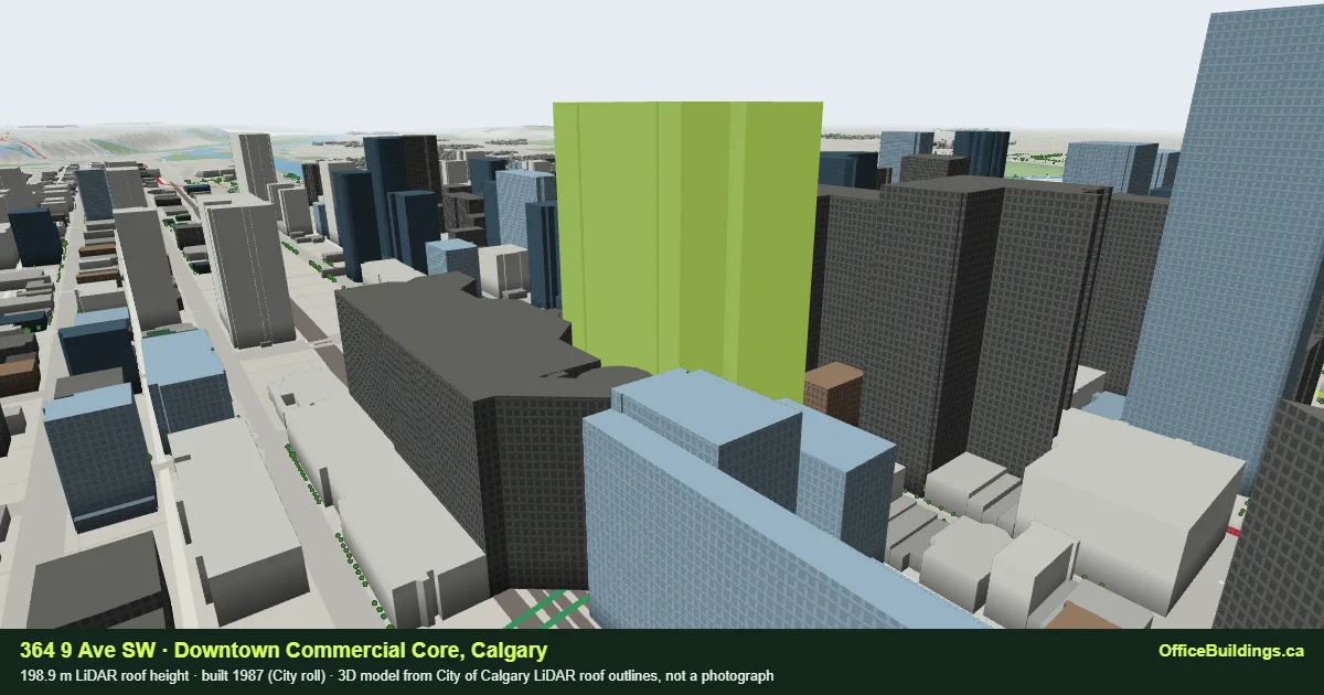 364 9 Ave SW
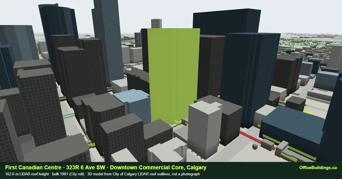 First Canadian Centre
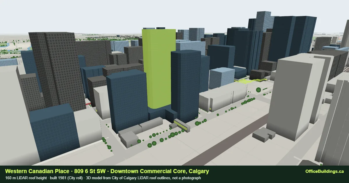 Western Canadian Place
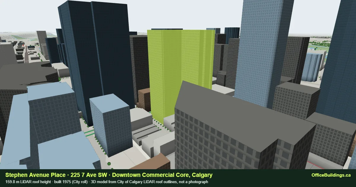 Stephen Avenue Place