Office buildings near McKnight Westwinds Station.
4 office building sites within 600 m straight-line. Route 202.
Map
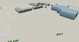
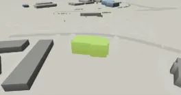
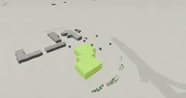
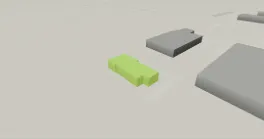
Highlighted footprints are office building sites; the circle is the station point.
By distance
Straight-line from parcel centroid to station point.
Public record sources: Current Year Property Assessments (Parcel), Historical Property Assessments (Parcel), Assessment Subproperty Use Codes, 3D Buildings - Citywide (LiDAR roof outlines), Land Use Districts, Transit LRT Stations, Green Line Stations, Plus 15, Historic Resource (Inventory of Evaluated Historic Resources), Development Permits, Building Permits, Calgary Existing Buildings - Performance Metrics (BenchmarkYYC), Calgary Business Licenses, On-Street Parking Zones with Rates, Building Inspections Results, Residential Parking Zones, Snow and Ice Clearing Priority Routes, Traffic Signals, Calgary Bikeways — The City of Calgary, retrieved 2026-09-24. Contains information licensed under the Open Government Licence – City of Calgary. Building names, floor counts and architects, where shown, come from Wikidata (CC0). No brokerage, listing-data or commercial research source is used.
Boundary: Assessed values are the City’s assessment-roll figures for taxation and are not sale prices, asking rents, vacancy or availability; Alberta does not publish transaction prices. LiDAR heights are roof-surface elevations above the lowest ground point at the building perimeter and can differ from architectural heights. Storey equivalents are derived at 3.9 m per storey and are not floor counts. Distances are straight-line. Permit descriptions are the City’s records at retrieval and do not establish current use, tenancy or availability. Read the methodology.