Southwood office buildings.
2 sites · 2 assessed accounts · tallest roof 59.9 m · median year built 1978.
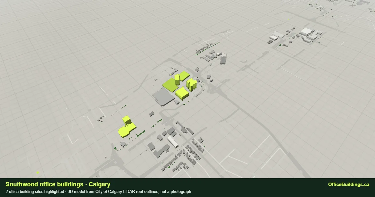
Southwood has 2 office building sites in this record, 65th of 117 communities by count. The tallest site here is 10655 Southport Rd SW, with a LiDAR roof height of 52.5 m. Together they are assessed at $103.4M on the 2026 roll. All 2 entered the record on City permit evidence of office use. Both lie within 800 m of a CTrain platform, the closest 154 m from Southland.
Southwood map
Office building sites highlighted among surrounding LiDAR footprints.
Southwood skyline
Main structures, west to east, heights to scale.
All office buildings by height
Select a building for its massing model, plan, history and permits.
Southwood questions
Community-level answers from the record.
How many office buildings are in Southwood?
2 office building sites (2 assessed accounts) in Southwood are in the record: 0 carry an office sub-property use on the City of Calgary 2026 roll and 2 entered on City permit evidence of office use.
What is the tallest office building in Southwood?
10101 Southport Rd SW has the highest LiDAR roof in Southwood at 59.9 m.
Is office space available in Southwood?
This record describes the buildings from public data and does not track availability. Start a private requirement to have current options confirmed.
Public record sources: Current Year Property Assessments (Parcel), Historical Property Assessments (Parcel), Assessment Subproperty Use Codes, 3D Buildings - Citywide (LiDAR roof outlines), Land Use Districts, Transit LRT Stations, Green Line Stations, Plus 15, Historic Resource (Inventory of Evaluated Historic Resources), Development Permits, Building Permits, Calgary Existing Buildings - Performance Metrics (BenchmarkYYC), Calgary Business Licenses, On-Street Parking Zones with Rates, Building Inspections Results, Residential Parking Zones, Snow and Ice Clearing Priority Routes, Traffic Signals, Calgary Bikeways — The City of Calgary, retrieved 2026-09-24. Contains information licensed under the Open Government Licence – City of Calgary. Building names, floor counts and architects, where shown, come from Wikidata (CC0). No brokerage, listing-data or commercial research source is used.
Boundary: Assessed values are the City’s assessment-roll figures for taxation and are not sale prices, asking rents, vacancy or availability; Alberta does not publish transaction prices. LiDAR heights are roof-surface elevations above the lowest ground point at the building perimeter and can differ from architectural heights. Storey equivalents are derived at 3.9 m per storey and are not floor counts. Distances are straight-line. Permit descriptions are the City’s records at retrieval and do not establish current use, tenancy or availability. Read the methodology.